Surfacing
Surfacing
by Nicole Starosielski, Erik Loyer, and Shane Brennan
Design and programming by Erik Loyer
2015
A companion to Nicole Starosielski’s book The Undersea Network, and powered by Scalar, Surfacing makes the underwater rhizome connections we depend on for our everyday data needs navigable by geography and theme. The work subverts typical mapping interfaces by placing the user in a continuous chain of views which can be zoomed in and out to reveal new dimensions in the content.
Images

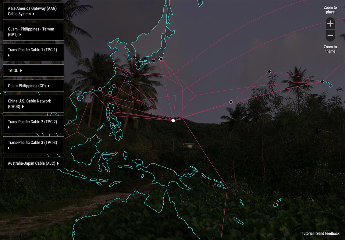
The piece begins by dropping the user at a random cable station in the Pacific.

From there, users, can zoom out to reveal a draggable map of underwater cable networks…
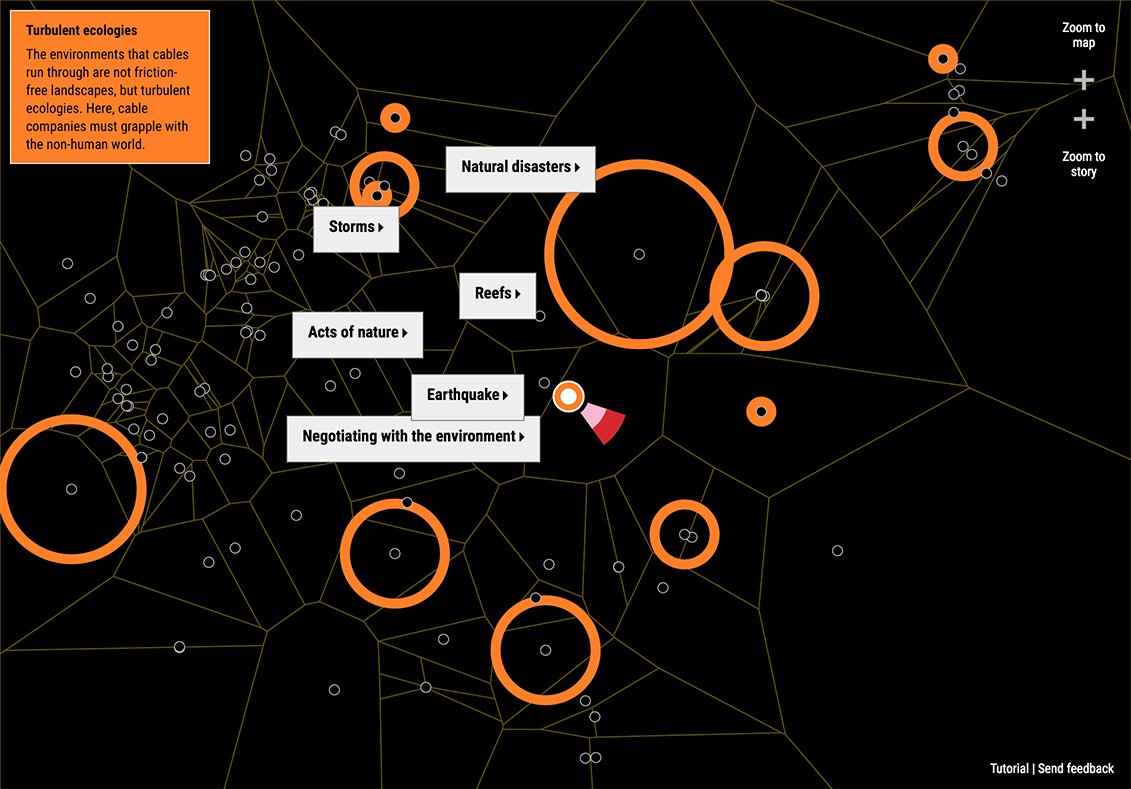
…or even further, to a map of thematic connections between stations which can be expanded and read.